


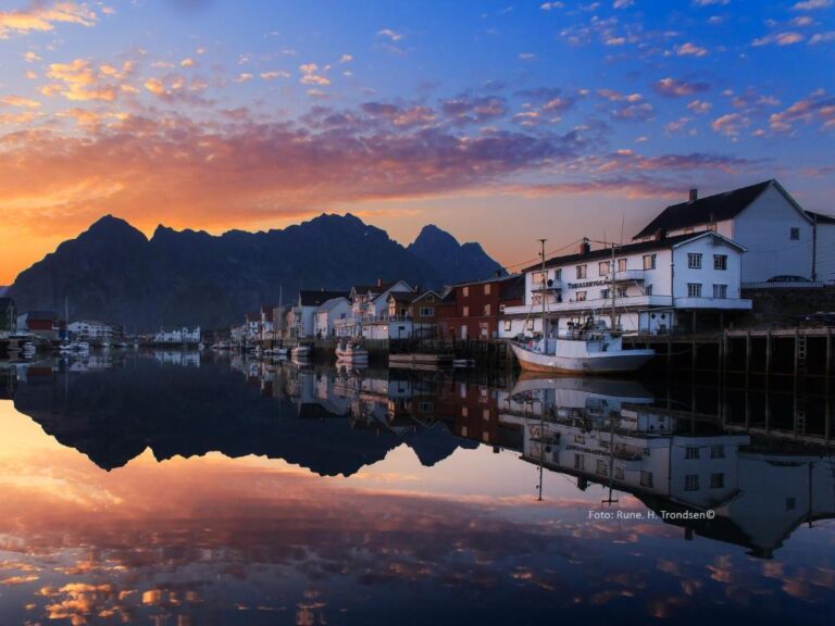
Tobiasbrygga
Henningsvær
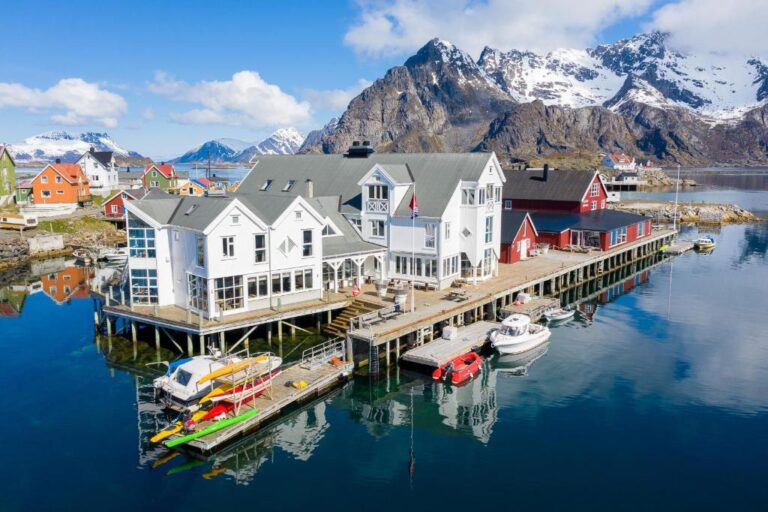
Villa Bryggekanten
Henningsvær
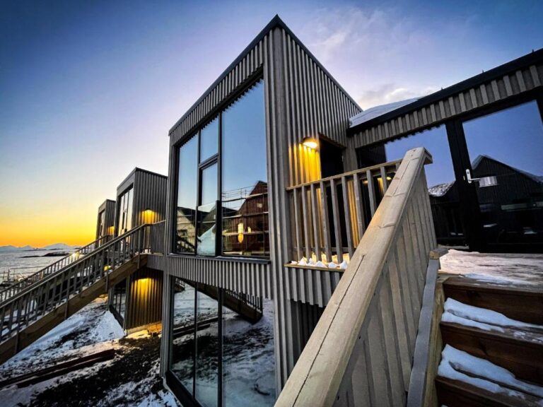
Henningsvær Lofoten new apartment
Henningsvær

There is more!
via Booking.com


")